Early map shows ‘Witchcasset,’ other places
One of the earliest, accurate maps of the Boothbay, Wiscasset and Westport areas was the topic of Sunday’s installment of the Lincoln County Historical Association’s winter lecture series. The featured speaker was Matthew Edney, Osher professor in the history of cartography at the University of Southern Maine and director of the History of Cartography Project at the University of Wisconsin.
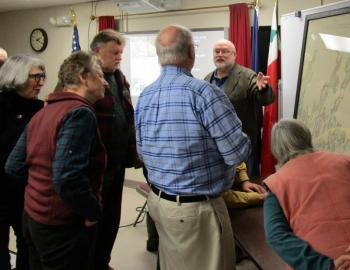
The map was drawn between 1771 and 1772. A full-scale copy was recently obtained from England by Dennis Dunbar of Westport Island. He presented the framed map to LCHA at the start of the program.
It’s known as the “Sproule Map,” for its maker Ensign George Sproule, a member of the 59th regiment of the British infantry. Edney said Sproule, a native of Ireland, was living in the Canadian maritimes when Samuel Holland commissioned him to begin mapping the region. Holland was the British government’s Surveyor General of Lands for the Northern District of North America, an area that extended from the Potomac River near present day Washington, D.C. to Cape Breton Island.
Edney explained how the Sproule Map differed in both appearance and information from earlier maps. Maps including one of Colonial Pownalborough were drawn more to show boundary lines and property holdings. “There was no interest in showing where the property was located within the region as a whole,” he said.
Regional maps of the same era showed the extent of territory but were very basic and general, he continued. Sproule’s maps contained legends that indicated points of interest like meeting houses, houses of worship, sawmills, roads and garrisons. Features like these make them of great interest to present day historians, he added.
Edney said original Sproule maps are pretty rare and hard to find in America. He said most were turned over to the crown. “King George III had a passion for collecting maps, amassing close to 50,000 of them during his reign,” he said.
Sproule had a team of helpers working under him. “Most of the mapping of the Maine coast was completed by 1773.” Edney said the Sproule Map, now a part of the LCHA collection, took about 18 months to make.
The town of Witchcasset (Wiscasset) and Witchcasset Harbor are shown on the map. Also appearing are Indian Point, an earlier name for Clark’s Point, Wiscasset and Goose Island, the small island north of the present Davey Bridge. Davis Island in Edgecomb is listed as “Lewis Folly” and present day Boothbay Harbor is shown as “Townsend Harbor.”
Dunbar said it was remarkable how accurate the rendition of Westport Island appeared on Sproule’s map. He said it clearly shows dwelling locations of the island’s first permanent settlers. The island was known then as Jeremy Squam.
The lecture series concludes Sunday, March 4. Peggy Konitzky, Wiscasset site manager for Historic New England, is the featured speaker.


